Mopipi B&B

Mopipi B&B

Mopipi B&B (Nietverdiend,Южно-Африканская Республика)

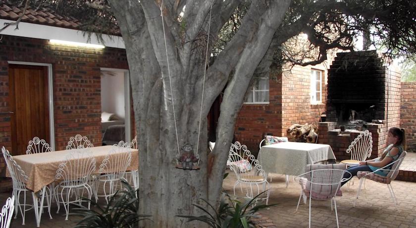
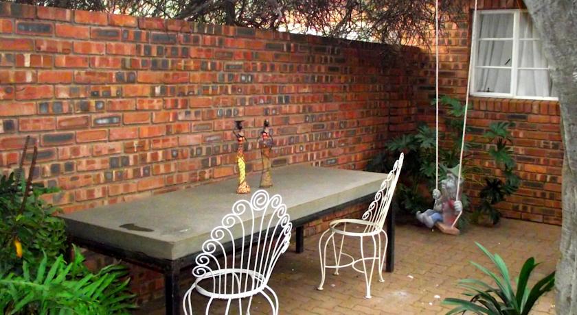
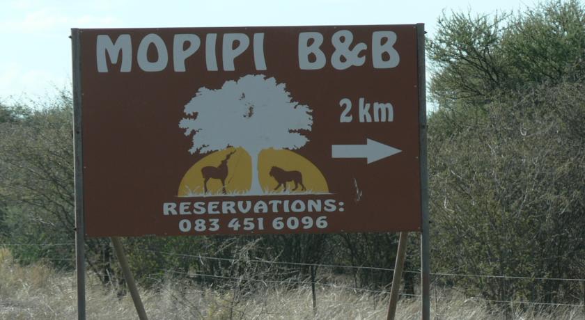
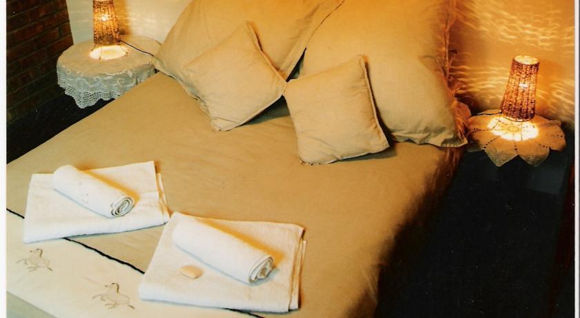
Категория отеля:
Адрес: R49 between Zeerust and Gaberone, 2784 Nietverdiend, Южно-Африканская Республика
Описание: Set in the Marico bushveld, Mopipi Bed & Breakfast offers accommodation in Nietverdiend. The property is surrounded by various nature reserves. There are BBQ facilities, and a large garden with lots of bird-life.The guest rooms at Mopipi are equipped with a TV, fridge and fan. Guests can use the tea and coffee making facilities and enjoy the outdoor and indoor dining areas. The private bathrooms are fitted with a bath or shower.The Botswana border is a 34-minute drive from Mopipi, while Madikwe Game Reserve is 50 km away.
Еда и питье:
На свежем воздухе: Барбекю , Сад
Парковка: Бесплатно! Бесплатная Частная парковка на месте (предварительный заказ не требуется) .
Услуги: Номера для некурящих, Отопление
Спорт и отдых:
Сервис: Упакованные ланчи
Интернет: Доступ в интернет отсутствует.
Языки общения:
Время заезда/выезда: 17:00 - 20:00 / 06:00 - 09:00
Домашние животные: Размещение домашних животных не допускается.
Банковские карты:
Номерной фонд: Отель типа "постель и завтрак": 8 номеров
Координаты: ш. -25.147227015042766 д. 26.172861456871033 на карте
 

Каталог отелей.

Игры ⚽ Поможем сделать НИР

Полезное


Смотреть что такое "Mopipi B&B" в других словарях:

  • Mopipi — Location of Mopipi Mopipi is a village in …   Wikipedia

  • Mopipi — Original name in latin Mopipi Name in other language Mopipi State code BW Continent/City Africa/Gaborone longitude 21.18333 latitude 24.88333 altitude 906 Population 3301 Date 2013 06 06 …   Cities with a population over 1000 database

  • Botswana — /bot swah neuh/, n. a republic in S Africa: formerly a British protectorate; gained independence 1966; member of the Commonwealth of Nations. 1,500,765; 275,000 sq. mi. (712,250 sq. km). Cap.: Gaborone. Formerly, Bechuanaland. * * * Botswana… …   Universalium

  • Gaborone —   City   From top to bottom: skyline view of Gaborone, statue of Seretse Khama, the city centre of Gaborone, bird s eye view of Gaborone …   Wikipedia

  • Maun — from the air in 2007 Location of Maun in Botswana …   Wikipedia

  • Mochudi —   Village   View of Mochudi in August 2007 …   Wikipedia

  • Molepolole — is Botswana s biggest village. It lies in the south east of the county. The people who reside in Molepolole are the Bakwena, who are one of the eight major tribes in Botswana. The Bakwena chief was among the three chiefs who went to England to… …   Wikipedia

  • Orapa — Coordinates: 21°20′02″S 25°21′53″E / 21.33389°S 25.36472°E / 21.33389; 25.36472 …   Wikipedia

  • Boteti River — The Boteti River is a river in Botswana. It got its water from the main Okavango Delta through the Thamalakane River in Maun. It flowed year round before it was hit by a drought in the mid 1990s. It stretches from Ngamiland to the main Boteti… …   Wikipedia

  • Moshupa — is a large village in the Southern District of Botswana with a population of approximately 20,000 (2011 est.). The people of Moshupa are called the Bakgatla ba ga Mmanaana, a group also found in Thamaga. Along with the related BaKgatla ba ga… …   Wikipedia


Поделиться ссылкой на выделенное

Прямая ссылка:
Нажмите правой клавишей мыши и выберите «Копировать ссылку»